Vantage Briefings
UN Vote Puts Africa's True Size Back on the Map
A UN vote to promote a new world map has brought fresh attention to the way Africa has been represented for generations.
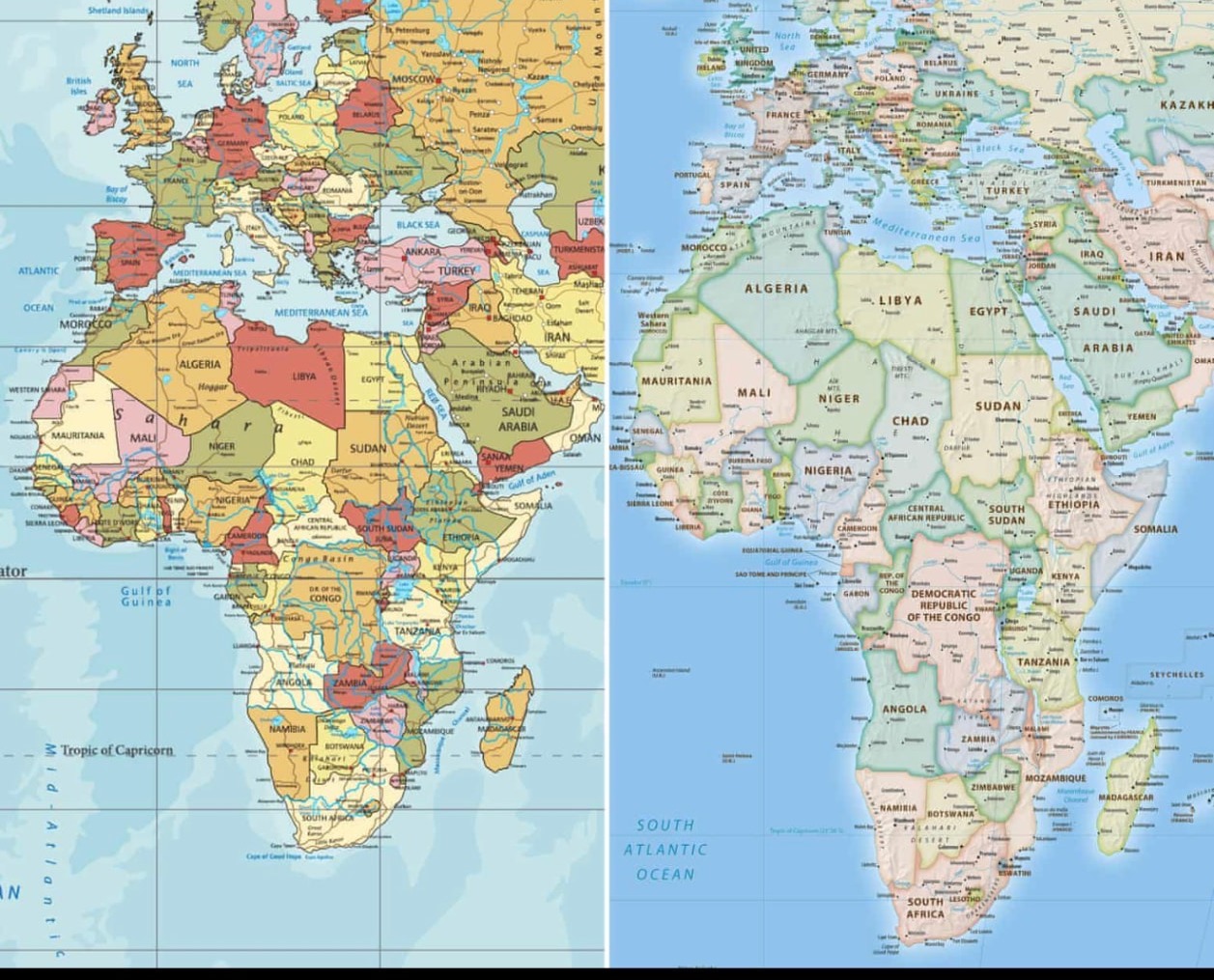
The world map many of us grew up with could soon look very different.
The United Nations General Assembly has backed a resolution supporting the use of a map projection that shows Africa and other parts of the world closer to their actual size.
The vote, led by Togo with the backing of the African Union, passed with 164 countries in favour. The United States was the only country to vote against it, while six countries abstained.
The issue centres on the Mercator projection, the familiar world map that has been around since the 16th century.
It was created by Flemish cartographer Gerardus Mercator in 1569, mainly to help sailors navigate. The problem is that the projection makes countries and regions closer to the poles appear much larger than they really are.
On a Mercator map, Africa can look surprisingly close in size to Greenland. In reality, Africa is about 14 times larger.
That difference is now at the heart of the #CorrectTheMap campaign, which has been pushing for a more accurate way of showing the world.
At first glance, this might seem like an argument about maps. It isn't only that.
Maps are often among the first things children see when they begin learning about the world. They influence how we understand distance, geography and the relative size of countries.
“It does not make Africa bigger. Africa was always that big.”
For Africans growing up with maps that make the continent look smaller than it really is, the issue has a particular resonance.
The new Equal Earth projection was designed in 2018 to preserve the relative size of land areas more accurately. It does not make Africa bigger. Africa was always that big.
Togo's foreign affairs minister, Robert Dussey, has argued that the issue should be viewed as a scientific one, pointing to the evidence behind the distortion.
The African Union endorsed the campaign in 2025 and asked Togo to take the issue forward at the United Nations.
The UN resolution is not legally binding. That means schools, governments, technology companies and other institutions are not being forced to throw away every Mercator map immediately. But the vote could still have an effect.
Maps used in classrooms, publications, digital platforms and other public spaces may gradually begin to change.
France, for example, has already announced plans to move towards the Eckert IV projection, another map that gives a more balanced representation of the world's land areas.
There is also an important point often lost in the debate. No flat map can represent the curved surface of the Earth perfectly. Every projection involves some compromise. Mercator still has practical uses, particularly in navigation.
So this is not really about declaring one map good and another bad. It is about what map we choose to use when the purpose is to show the relative size of the world.
The continent does not need to become larger on paper. It needs to be seen as it actually is. And after years of looking at a map that did otherwise, the UN vote could mark the beginning of a different picture.
Source
The GuardianAbout the author
Vantage Desk is the newsroom team of Vantage Magazine.